Collection / Operations and intelligence
Global Mission Control
Earth, space and hazards, live.
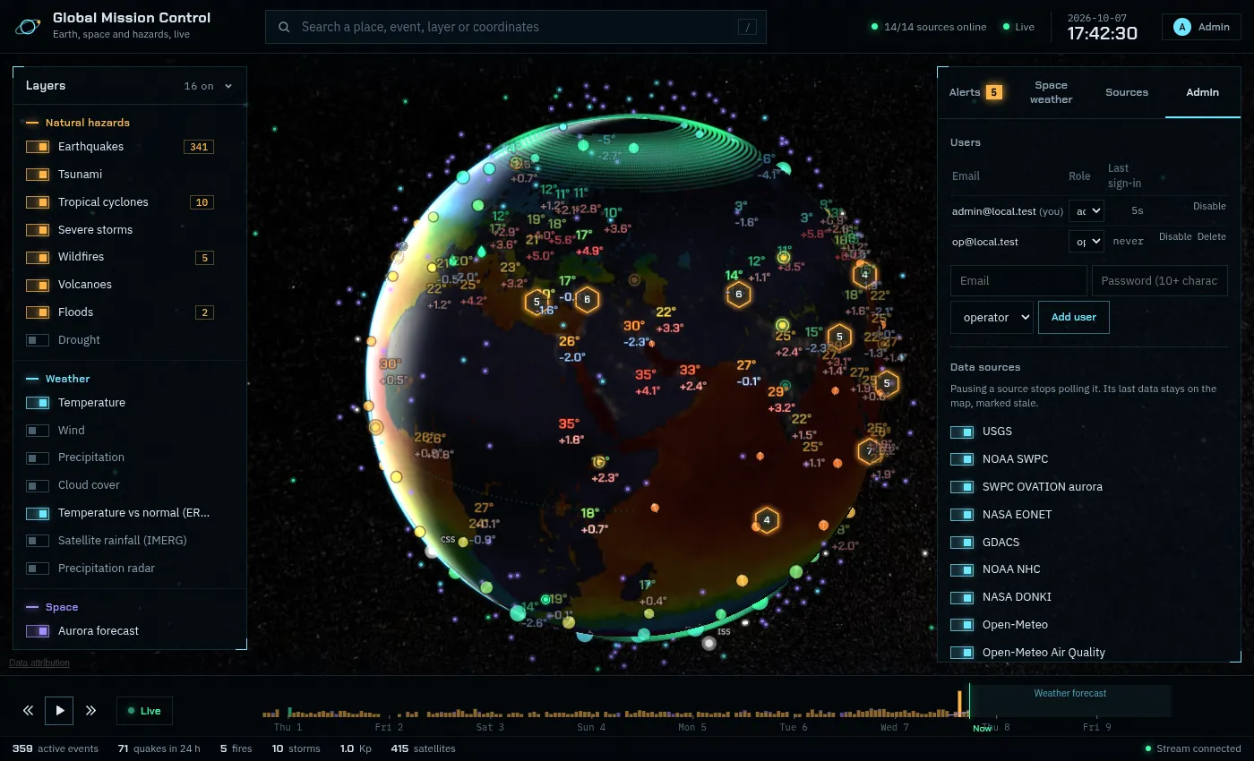
A real-time picture of the planet on a 3D globe: earthquakes, tsunamis, storms, wildfires, weather, ocean, air quality, space weather, aurora and satellites, aggregated from NASA, NOAA, USGS, Copernicus and more, with alerts and a replayable timeline.
What it does
More than a dozen live sources
USGS, NOAA tsunami centres, GDACS, NASA EONET and DONKI, Open-Meteo, Copernicus ERA5, CelesTrak and more.
Layers that matter
Hazards, weather, temperature versus the ERA5 normal, sea temperature, sea ice, aurora and orbits.
Alerts and correlation
Configurable alert rules, with the same event confirmed across providers.
Built for operators
Roles, audit log, metrics, nightly backups and a native Android client.
Made for
Operations centres, journalists, researchers and anyone who wants to see the world as it happens.
Pricing
Public viewing free. Operator and admin accounts for teams.
Built on NexusLayer
Global Mission Control is designed, built and operated by NexusLayer. Here is what it runs on.
- Real-time pipelineProvider adapters, PostGIS, Redis and WebSockets streaming live updates.
- NexusLayer CloudContainerised services on NexusLayer servers in Germany, behind TLS, with nightly backups.
- Monitored by NexusOpsHealth, logs and resource use watched by NexusLayer's own operations platform.